Mexico’s Storms Reflect a Wider Pacific Pattern
As Hurricane Rachel strengthens in the eastern Pacific, its concurrent impact with a cold front in Mexico highlights a changing and uncertain seasonal rhythm across the region.
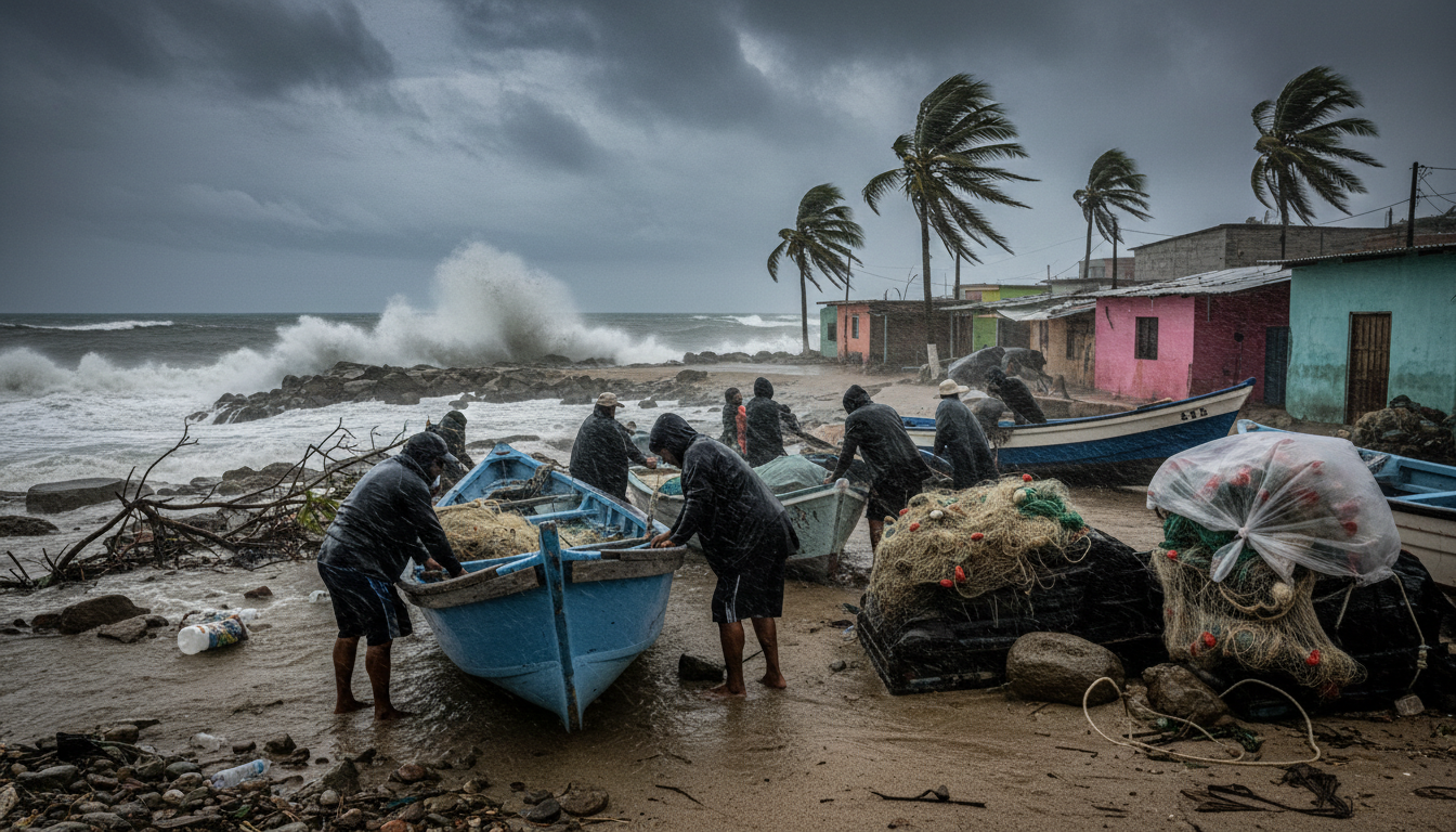
Wind and rain lash the coast of Mexico, as Hurricane Rachel churns offshore. The storm, which achieved Category 3 strength early Thursday afternoon with maximum sustained winds of 195 km/h, follows on the heels of Hurricane Polo, raising concerns for coastal communities. Simultaneously, a cold front is forecast to bring rain and lower temperatures to Mexico’s central and northern states. This dual weather event means that on Thursday, October 1, 2026, heavy rainfall is expected across significant portions of the country, from the coastal regions affected by Rachel to inland areas feeling the front’s effects.
The swift succession of major storms like Polo and Rachel, both developing in the eastern Pacific, suggests a heightened intensity in the current hurricane season. Rachel is poised to strengthen further to Category 4 by Friday, fueling dangerous flood threats. The fact that one storm weakens as another gathers strength offshore, as Reuters reported on September 29, 2026, points to a persistent and active atmospheric environment. This continuous cycle, where one weather system gives way to another, can exhaust resources and response capabilities, particularly in areas already recovering from previous impacts.
While these events unfold on Mexico’s western flank, their implications extend beyond national borders, echoing concerns for other Pacific Rim nations, including Thailand. The sustained force of these systems, and their tendency to overlap or quickly succeed each other, poses questions about future disaster preparedness. If such a pattern were to intensify or shift westward, countries accustomed to distinct weather seasons might face unprecedented challenges.
For communities reliant on coastal livelihoods or tourism, the economic disruption from such frequent and powerful storms can be severe and prolonged. Infrastructure faces repeated stress. Recovery efforts can become cyclical rather than cumulative. The convergence of a powerful hurricane and a cold front is an unusual combination, forcing two distinct weather patterns to exert influence at once. This interplay highlights a broader unpredictability in atmospheric conditions that could redefine how regions across the Pacific prepare for and adapt to natural events. This particular episode in Mexico points to the accelerating complexity of weather systems, moving beyond simple seasonal forecasts to a more intricate and volatile reality.
Sources
Newsletter
Pacific Daily
A curated briefing from Thailand, Asia-Pacific and the world.