The Operational Perimeter of Thailand's Forest Reserves
Manual animal rescues expose the gap between administrative cartography and functional boundary enforcement
SINGAPORE
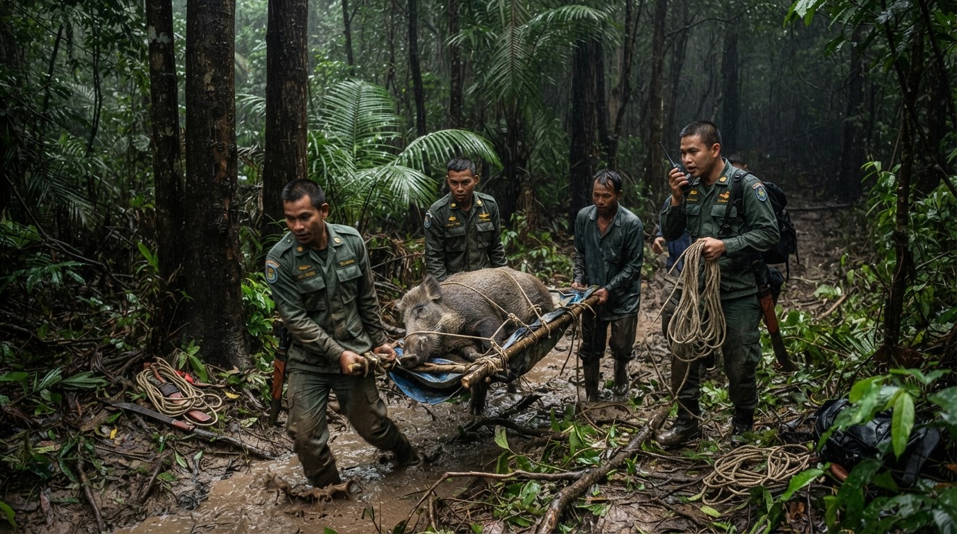
Administrative cartography in Southeast Asian conservation has long presumed that legal boundaries create physical separation between human settlements and wildlife. That operational assumption breaks down whenever direct human intervention is required to manage basic boundary containment. At Si Phang Nga National Park in southern Thailand, park authorities announced on Friday that wildlife rangers took turns carrying an Asian forest tortoise weighing more than 20 kilogrammes back into the forest after the animal strayed toward an adjacent residential community. Park officials framed the return of the animal, designated as Uncle Tao Hok, as an operational patrol success that secured an endangered specimen.
Yet the episode indicates an enforcement posture that remains fundamentally manual and retrospective rather than systemic. The reported event confirms that the animal was intercepted only after it had moved toward dwellings outside the core forest. While official social media communications presented the physical transfer as evidence of active forest protection, the incident illustrates that perimeter integrity along park boundaries depends entirely on ad hoc detection.
Capability Versus Territory
Forest governance across mainland Southeast Asia has historically expanded through statutory designation. Governments established sprawling protected reserves across mountain ranges, legally walling off natural habitats while leaving front-line enforcement capabilities largely unchanged. In Phangnga province, where state forest borders agrarian settlements, boundary management relies on foot patrols rather than automated perimeter surveillance or continuous containment infrastructure. Rangers must physically lift and haul wildlife because no functional barrier or ecological buffer prevents slow-moving fauna from crossing into village spaces.
Physical transport by field rangers substitutes for structural containment along the park perimeter.
From an institutional perspective, this operational arrangement reflects an enduring fiscal compromise. Maintaining physical barriers or high-density sensor networks across expansive tropical terrain demands capital allocations that regional park administrations consistently lack. Park authorities inevitably rely on the physical labour of ranger units to manage interface problems as they arise. When an endangered animal reaches village margins, survival hinges not on automated detection, but on whether residents alert authorities or whether patrolling officers encounter the animal before harm occurs.
The Unresolved Interface
Defenders of current park administration argue that total physical isolation of large reserves remains ecologically counterproductive and fiscally untenable. Continuous artificial fencing interrupts natural wildlife corridors, fractures broader ecosystems, and imposes maintenance costs that state budgets cannot absorb over thousands of hectares. Under this view, opportunistic manual interventions by field personnel, aided by local community reporting, represent the only realistic protocol for rural boundaries where wildlife and agrarian tracts meet.
This rationale explains immediate bureaucratic choices, but it treats reactive remediation as an enduring substitute for spatial planning. Manual portage does not mitigate the progressive compression of buffer zones caused by agrarian expansion along reserve fringes. When state conservation measures celebrate the manual relocation of individual animals, they highlight human effort while leaving unaddressed the structural absence of functional boundary containment between protected habitats and expanding human communities.
Sources
Newsletter
Pacific Daily
A curated briefing from Thailand, Asia-Pacific and the world.