The Distant Buffer of the Southern Cook Islands
Early tracking of Tropical Cyclone Wati exposes the structural limits of maritime warning systems across remote Pacific atolls.
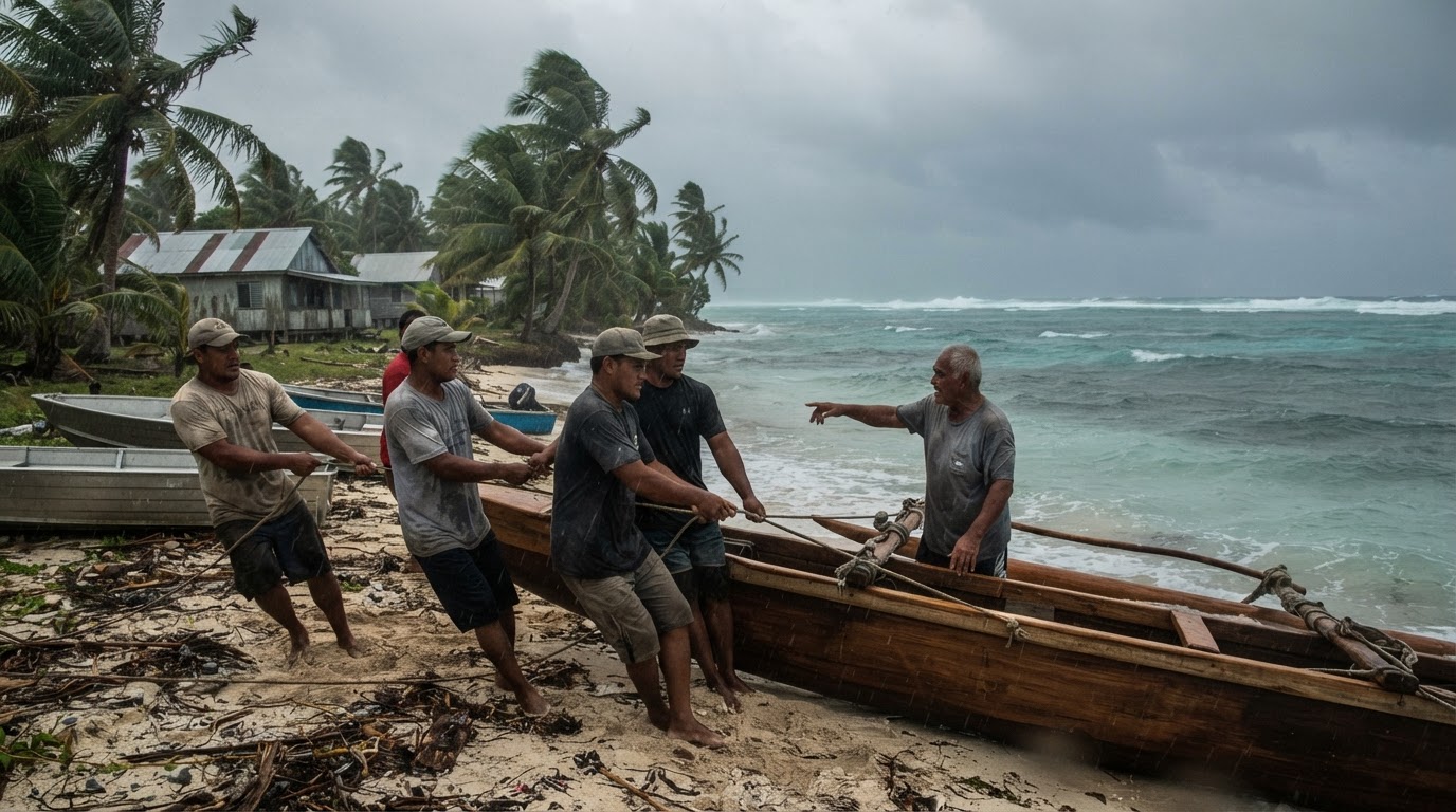
Early meteorological warnings exist to buy time, yet isolated maritime geography regularly discounts that purchase before the storm even arrives. When Tropical Cyclone Wati strengthened from a tropical depression into a Category 1 system on Saturday, tracking put the vortex roughly 530 km north-northwest of Aitutaki by 10am on Saturday 17 October. Sustained winds registered around 75 km/h with localized gusts reaching 100 km/h, while the entire formation progressed southeast at roughly 14 km/h. For the Cook Islands Meteorological Service, the advisory protocol followed established procedure, advising residents across the Southern Cook Islands that conditions would deteriorate over coming days. The institutional calculation assumes that information delivered across open ocean translates automatically into protection.
That administrative expectation ignores the stark operational realities of low-lying Pacific communities. An isolated atoll cannot retreat inland or deploy heavy industrial civil defense equipment on short notice. When public advisories urge coastal populations to monitor official bulletins, they transfer the burden of risk management to people whose physical options remain tightly constrained by local geography. Warning systems designed around standard mainland frameworks treat tracking data as actionable margin. On an atoll, five hundred kilometers of buffer simply measures the speed of an approaching maritime hazard across unshielded water.
The Logistics of Vulnerability
Regional climate resilience discussions frequently treat digital alert networks as complete defensive solutions. Tropical Cyclone Wati tests that assumption by moving across oceanic expanse where emergency response alternatives do not exist. When a storm tracks southeast at 14 km/h, peripheral squalls and rough seas arrive well ahead of the center, cutting maritime transit and isolating smaller airstrips before peak intensity hits. Preparedness on Aitutaki depends entirely on pre-positioned local resources, reinforced housing, and community cohesion rather than late-stage external interventions.
Supporters of current regional hazard mechanisms argue that early notification represents the single most cost-effective hedge against severe loss. Accurate tracking by the Cook Islands Meteorological Service provides an indispensable operational window for securing small vessels, battening domestic dwellings, and clearing drainage paths before gale-force conditions take hold. Without systematic tracking, even minimal Category 1 disturbances could strike unprotected settlements with devastating surprise. That argument correctly identifies information as necessary, yet confuses notification with actual material security.
Warning systems designed around standard mainland frameworks treat tracking data as actionable margin.
Early alerts without physical infrastructure investments leave communities absorbing climatic disruptions largely on their own. The Southern Cook Islands bear the environmental weight of shifting oceanic patterns while broader regional strategy discussions treat early advisories as an equitable substitute for physical capital. An advisory cannot elevate a shoreline, fortify exposed food crops, or replace compromised freshwater lenses. It merely documents the countdown.
Strategic Geography and Pacific Realities
Broader Asia-Pacific disaster risk frameworks will increasingly face this structural imbalance as maritime storm systems interact with remote island chains. When regional strategy prioritizes centralized forecasting over decentralized infrastructural endurance, the peripheral coastlines end up paying the residual cost of policy compromises negotiated thousands of kilometers away. Tracking systems will continue to chart coordinates with exact precision as Wati advances southeast. The enduring structural dilemma across the Pacific is that precision in forecasting does nothing to shorten the isolation of the coastlines in the path.
Sources
Newsletter
Pacific Daily
A curated briefing from Thailand, Asia-Pacific and the world.